Water Management Starts With Knowing the Full Picture
As water scarcity intensifies, communities need more than isolated data points — they need a clear, shared understanding of how water moves across landscapes, farms, and delivery systems. FLOW is H2oTech’s cloud-based spatial water accounting system built to help agricultural water managers turn complex data into practical, defensible insight.
FLOW brings together water measurement, crop water use, and spatial data into one connected platform — helping communities maximize water productivity while supporting transparent and equitable decision-making.
What FLOW Brings Together
FLOW brings all these together in a spatially explicit system designed for real-world agricultural water management.
Surface water deliveries
Groundwater use
Crop water consumption (evapotranspiration)
Precipitation & spatial datasets
Customer, land, crop, & time relationships
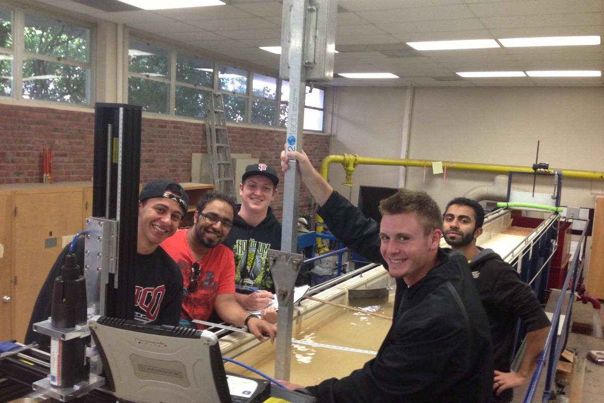
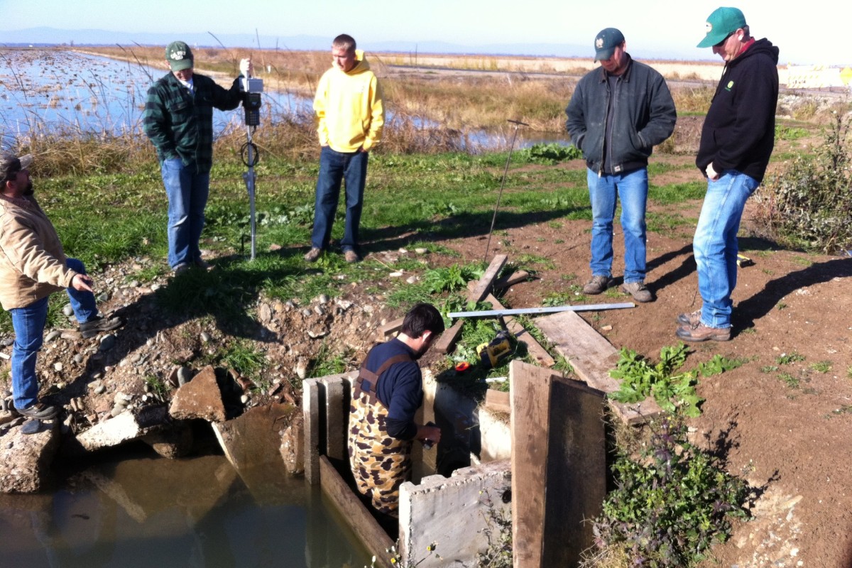
A Complete Ecosystem for Water Accounting
FLOW is more than software — it’s a connected set of tools that move water data from the field to the office to the people who depend on it.